Our Services
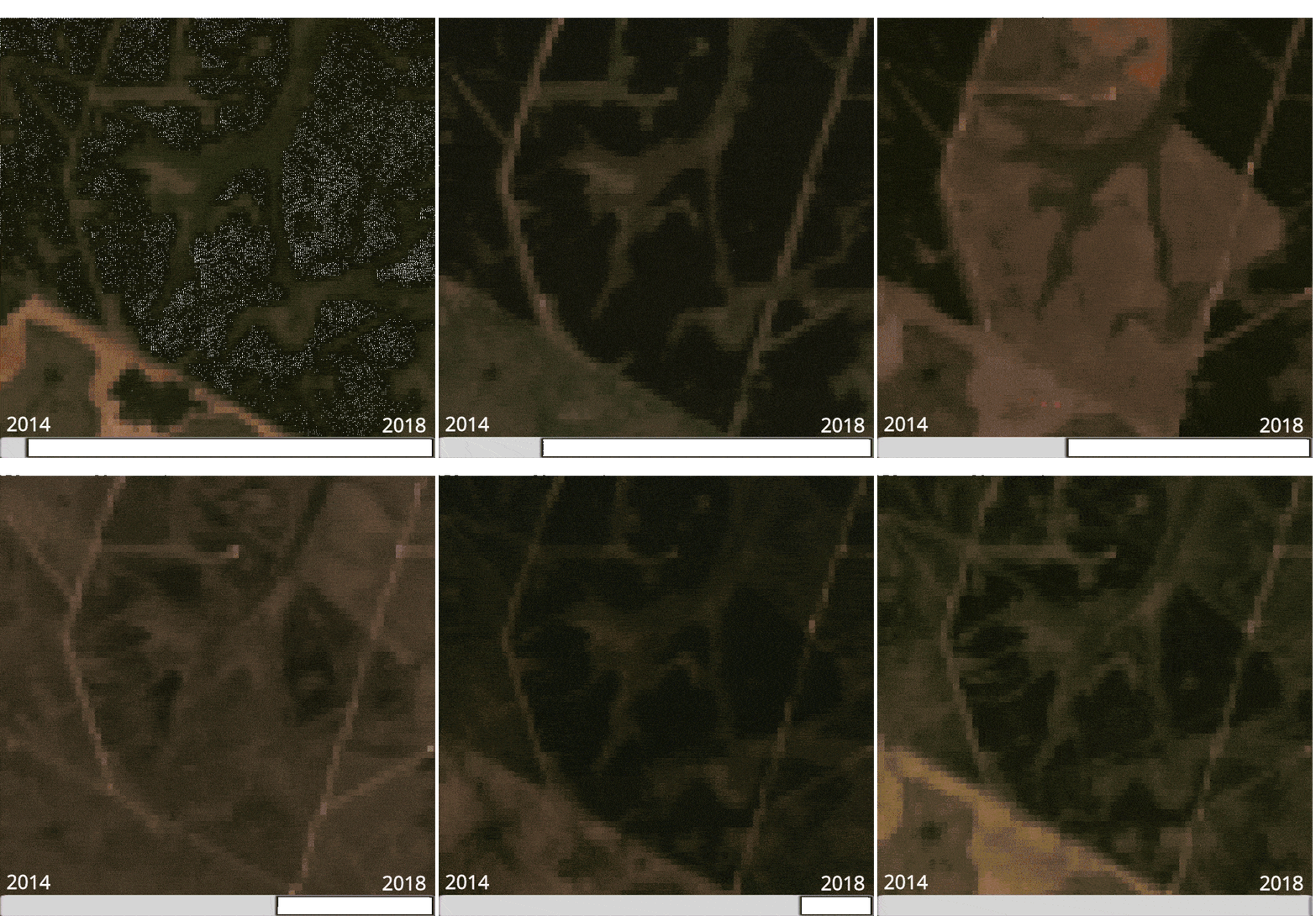
TIME LAPSE
Transformative time lapse service capturing changes of landscapes, cities and natural phenomena with synchronized satellite imagery.

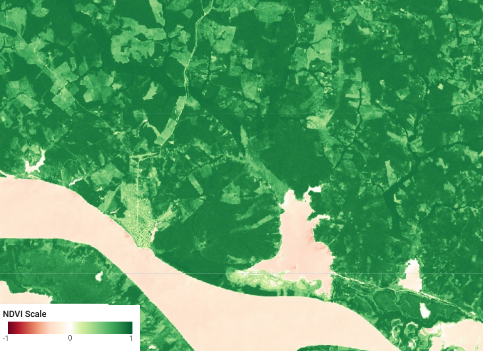
VEGETATION INDEXES
Accurate and efficient satellite-based vegetation calculations to analyze plant and monitor environmental changes

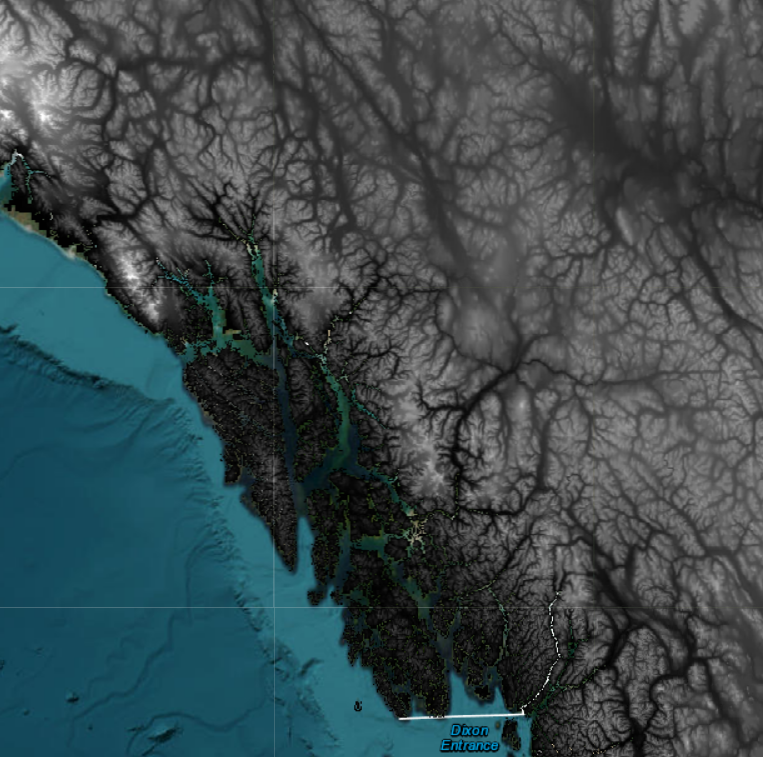
TOPOGRAPHY
Get detailed and accurate satellite topographic maps to analyze terrain, plan routes, and make informed decisions.

TIME LAPSE
Transformative time lapse service capturing changes of landscapes, cities and natural phenomena with synchronized satellite imagery.
VEGETATION INDEXES
Accurate and efficient satellite-based vegetation calculations to analyze plant and monitor environmental changes
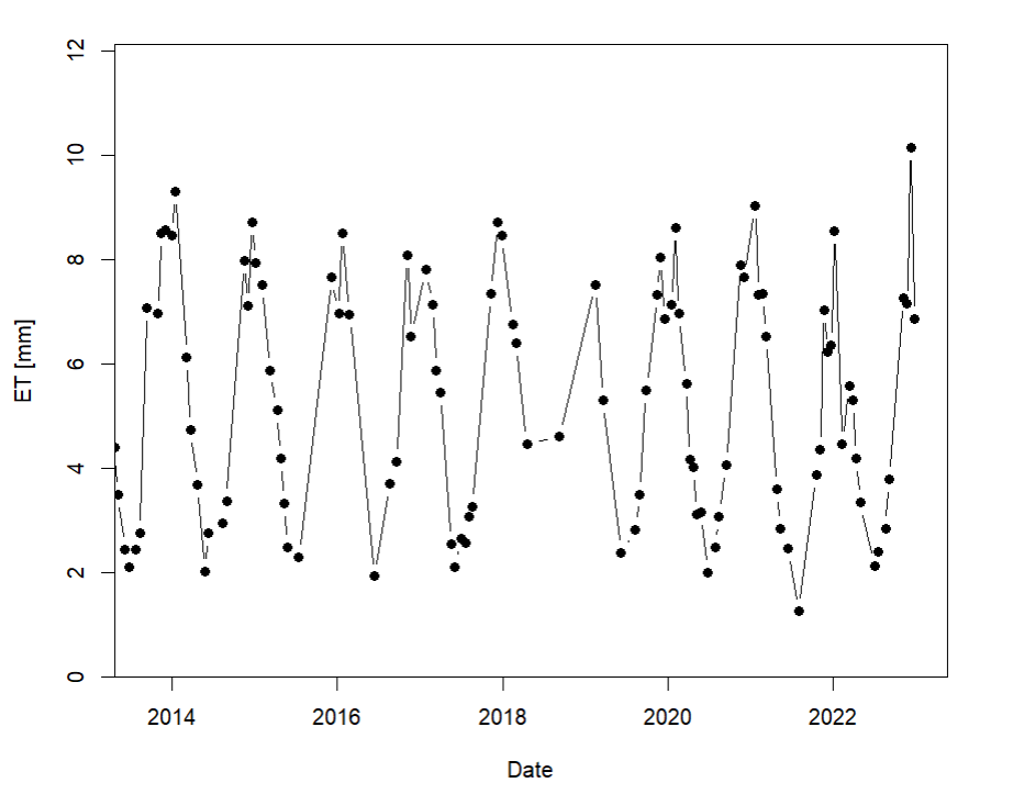
EVAPOTRANSPIRATION
Accurately measure evapotranspiration rates using satellite data. Optimize water usage and increase efficiency in agricultural.
TOPOGRAPHY
Get detailed and accurate satellite topographic maps to analyze terrain, plan routes, and make informed decisions.
